On 2 April, a new themed cycling route, War in the Over-Betuwe, was officially launched in the municipalities of Over-Betuwe and Lingewaard, in the region between Nijmegen and Arnhem. Developed as part of the LRE Foundation network, the route sheds light on the profound impact of the Second World War on this river landscape and its communities.
The launch date carries strong historical significance: April 1945 marked the end of German occupation in the Over-Betuwe region. Choosing this moment for the inauguration creates a direct link between past and present, inviting visitors to reflect on liberation while experiencing the landscape where these events unfolded.
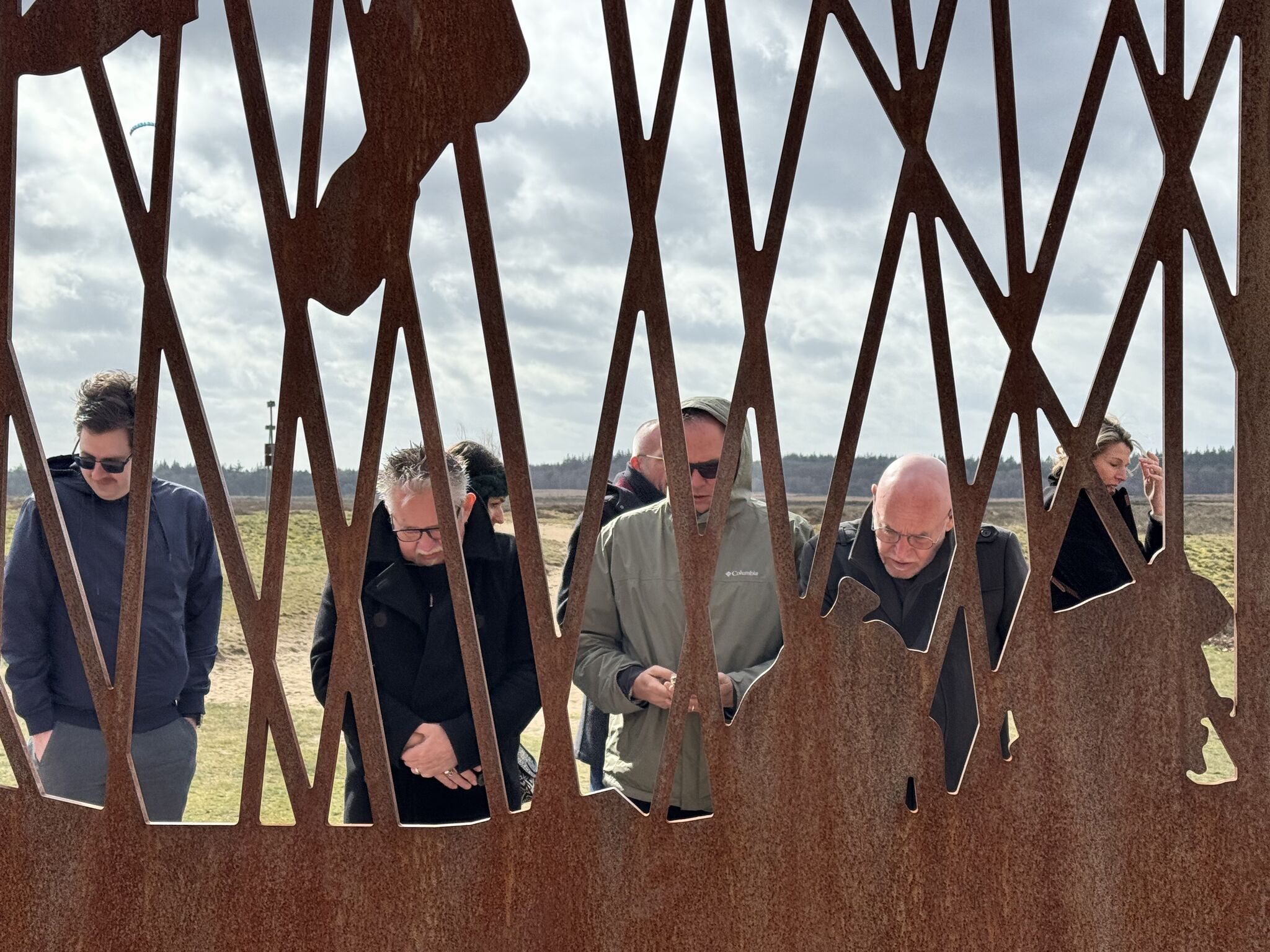
The 60-kilometre cycling loop, located in the Lingewaard Municipality – an active member of the LREF network – connects 26 points of interest across the Betuwe region, an area defined by its floodplains and dykes between the Rhine and Waal rivers. The route is now marked by Floor Vectors, guiding visitors through locations that reveal personal and collective wartime experiences.
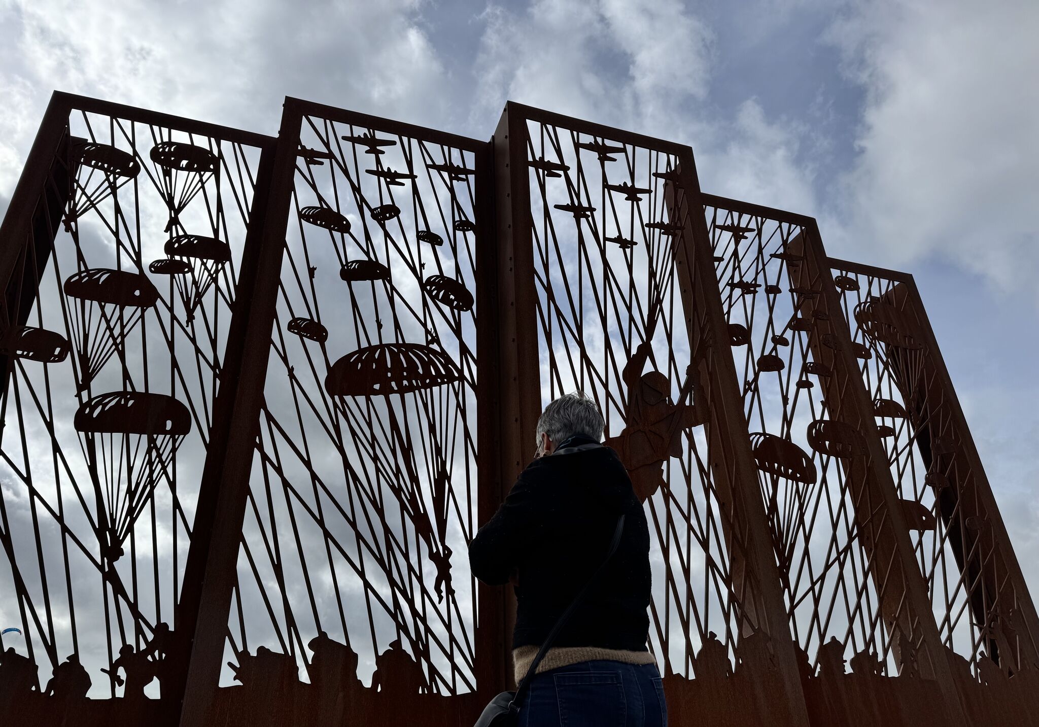
From the Schoonderlogt Estate in Elst to Fort Pannerden in Doornenburg, passing through Huissen and Driel, the route tells stories of evacuation, deliberate flooding, and devastating bombings. These narratives highlight the civilian perspective of war, bringing attention to the resilience and suffering of local communities.
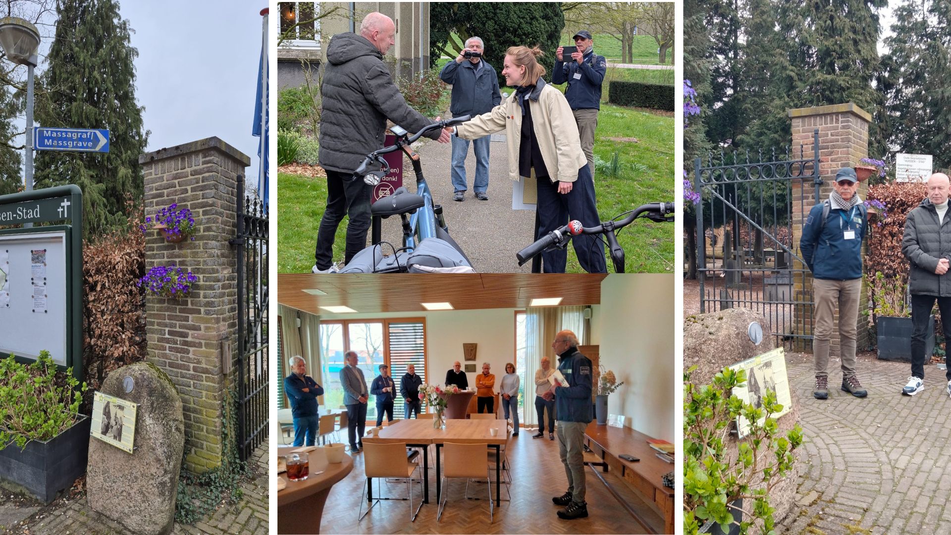
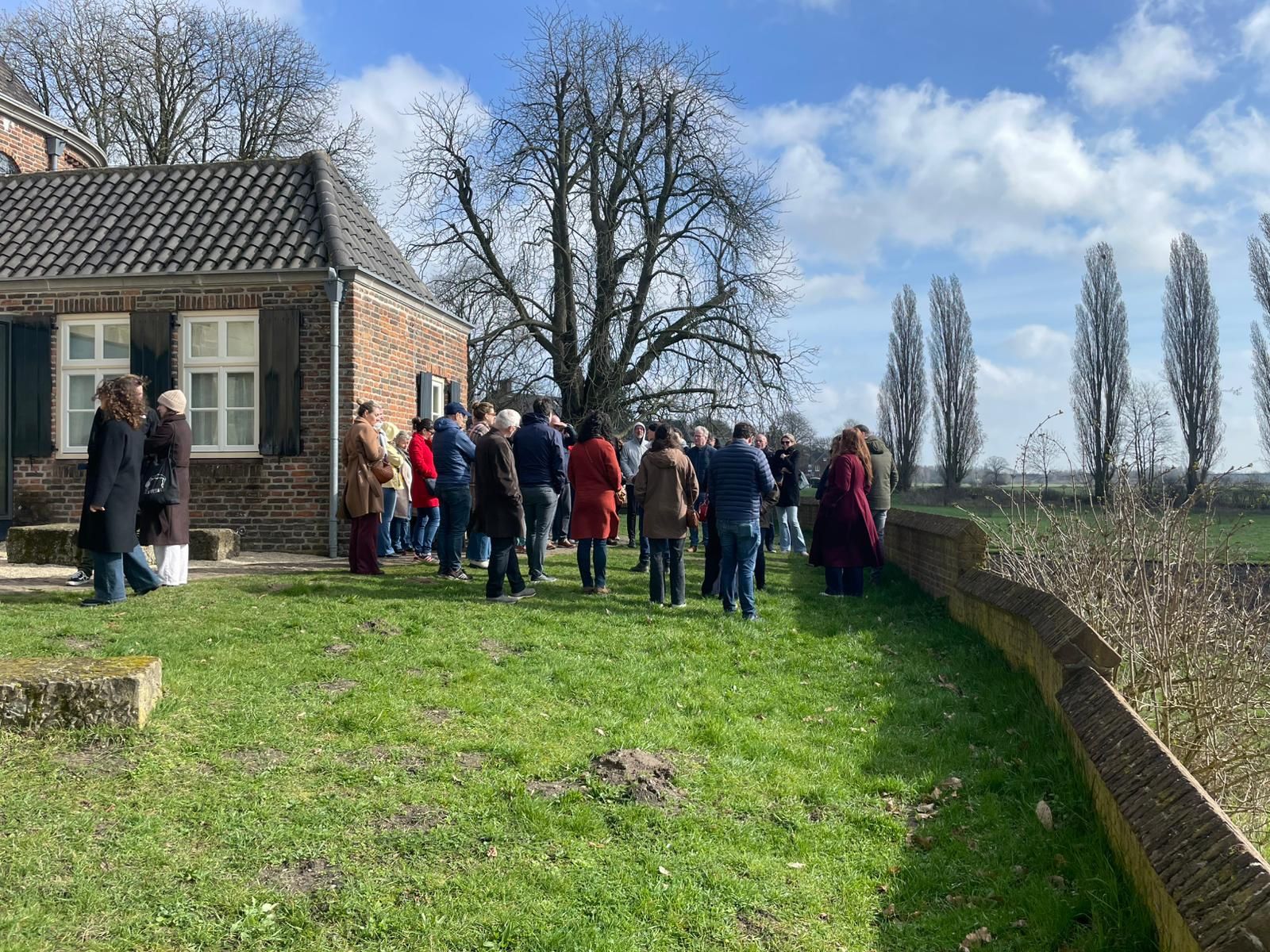
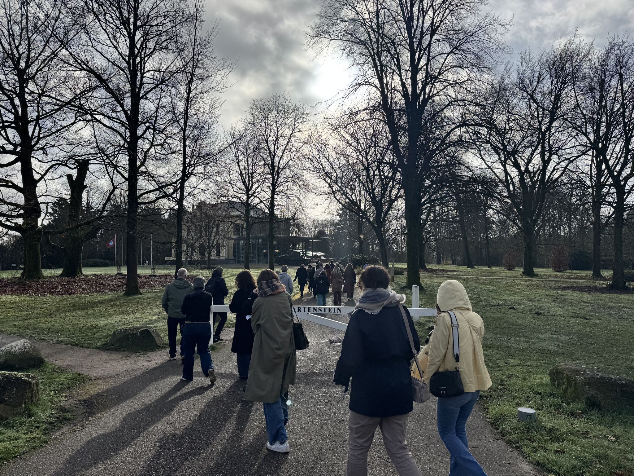
The inauguration was organised by the ExodusComité, a key partner in the route’s development. The event itself echoed the spirit of the route: councillors Aart Slob and Wijnte Hol each set off by bicycle from Bemmel and Elst respectively, passing landmarks from their own municipalities, and following the signposted route to Huissen.
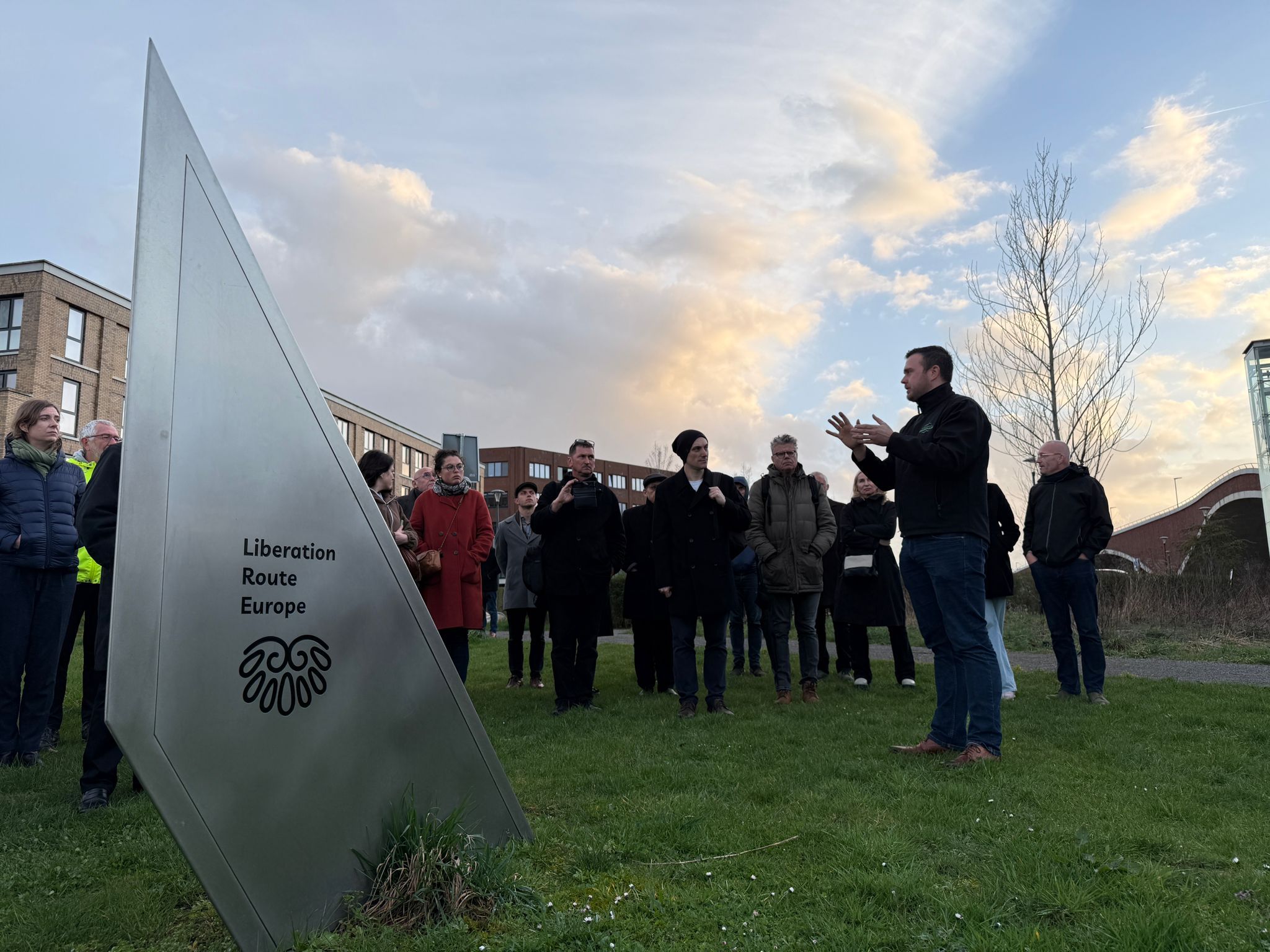
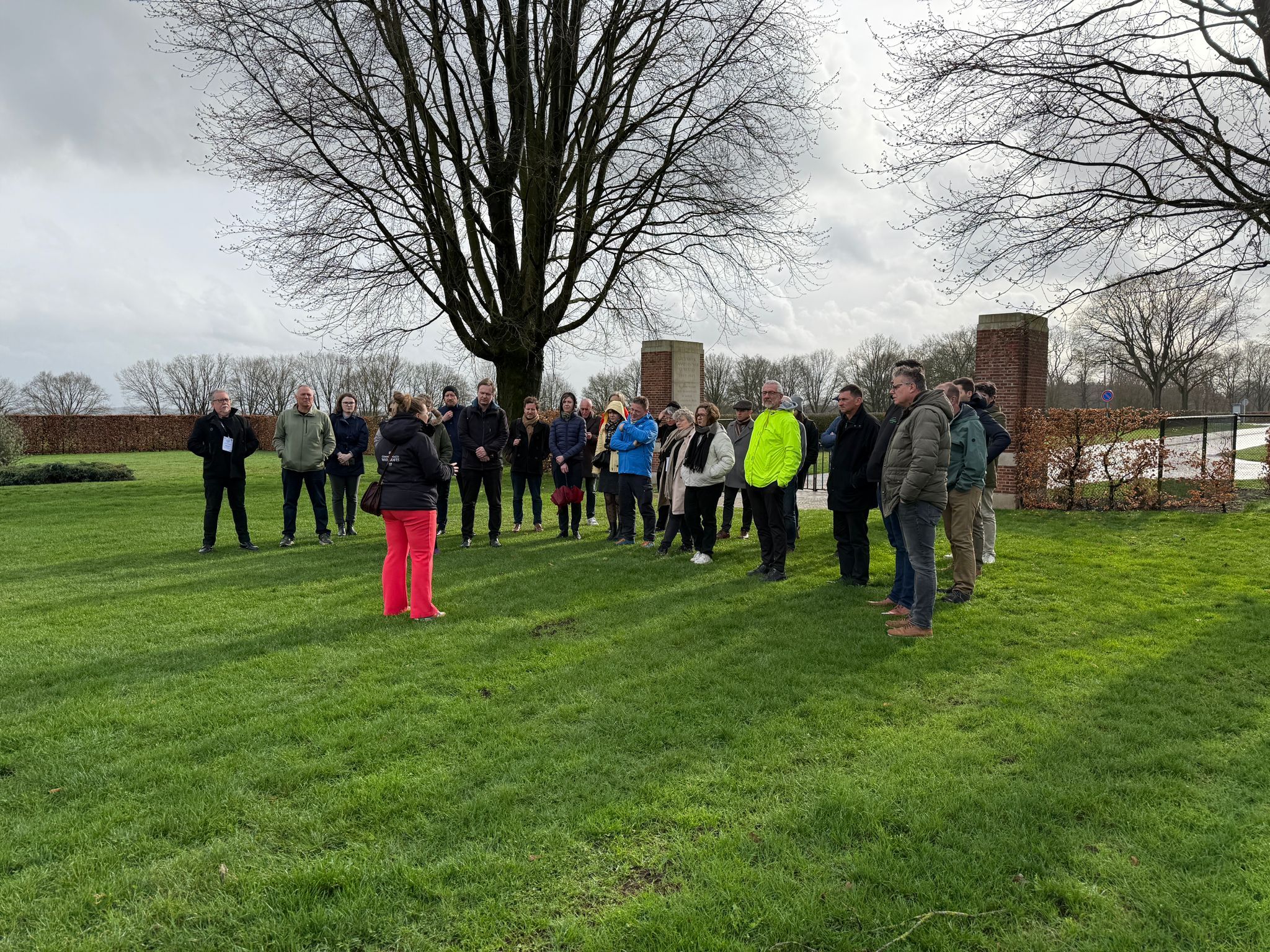
At 11:30, participants gathered at a Liberation Route Europe audio spot near the mass grave in Huissen. This site (42. Engulfed in fire and smoke) commemorates the tragic experiences of the town’s citizens during the war.
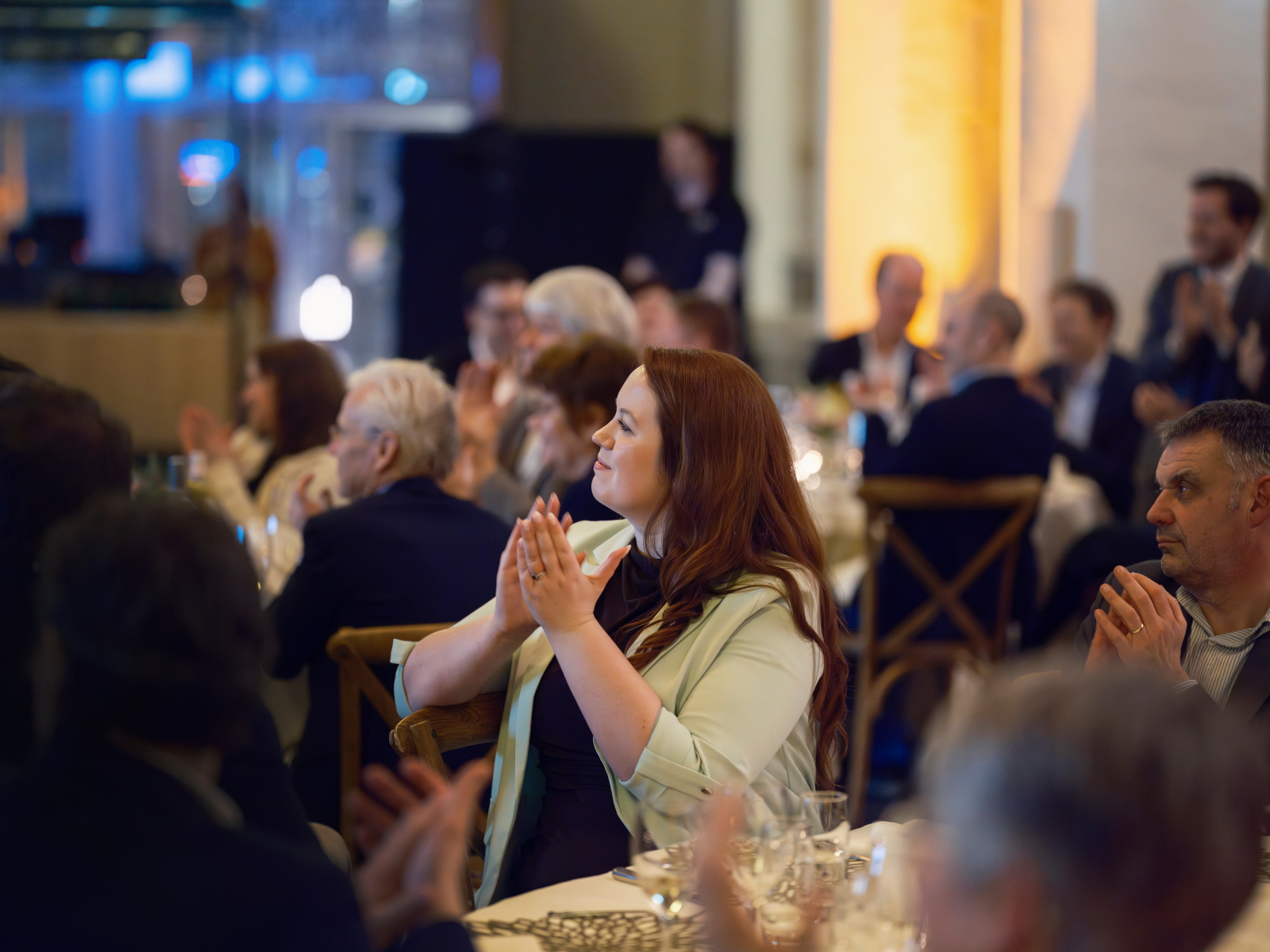
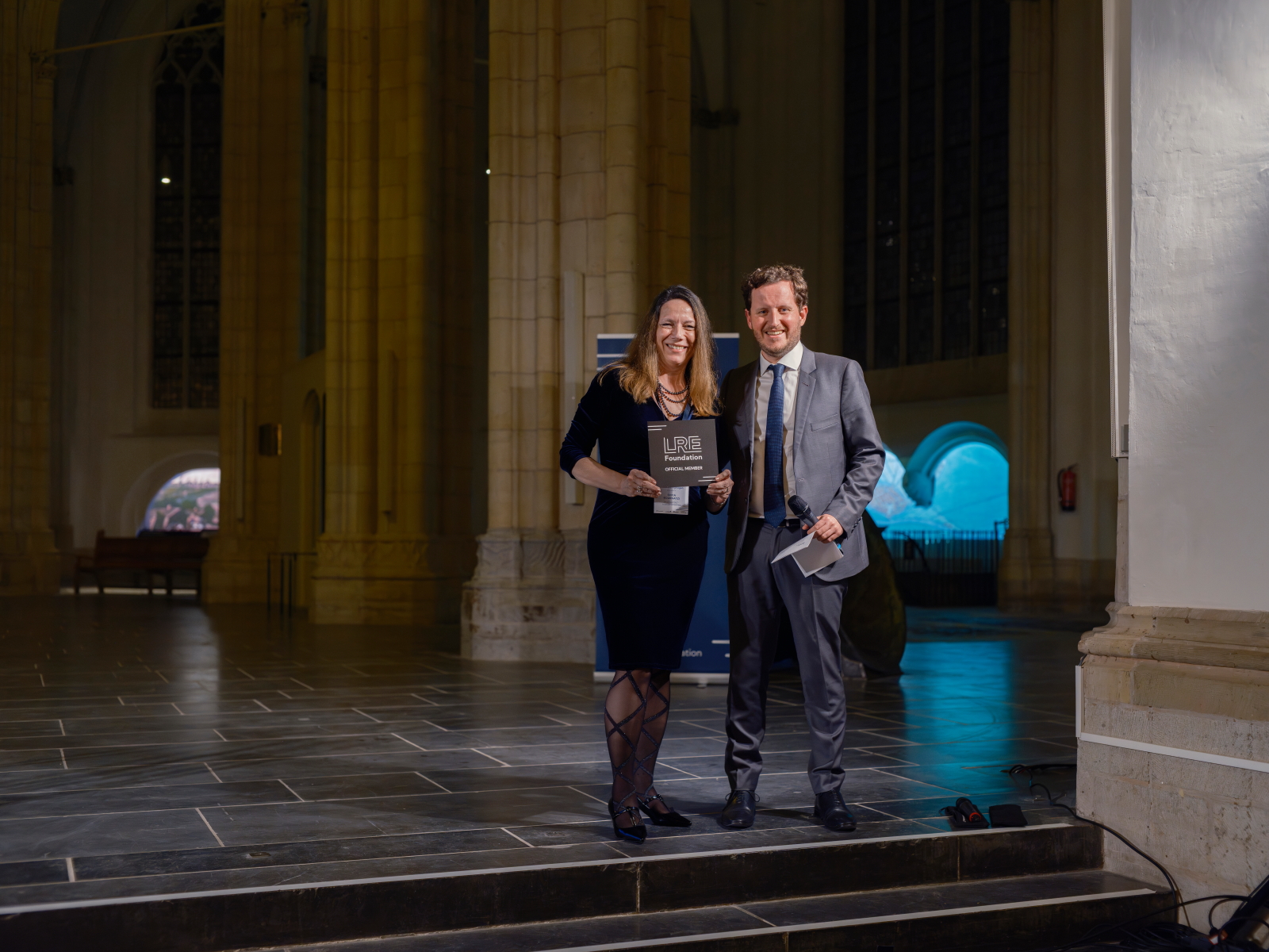
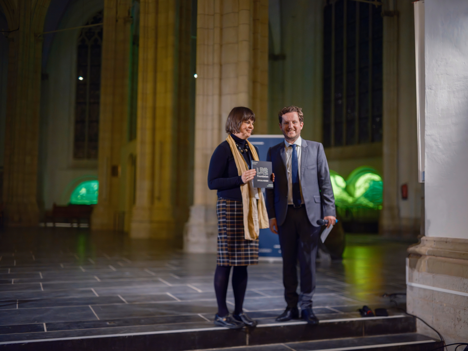
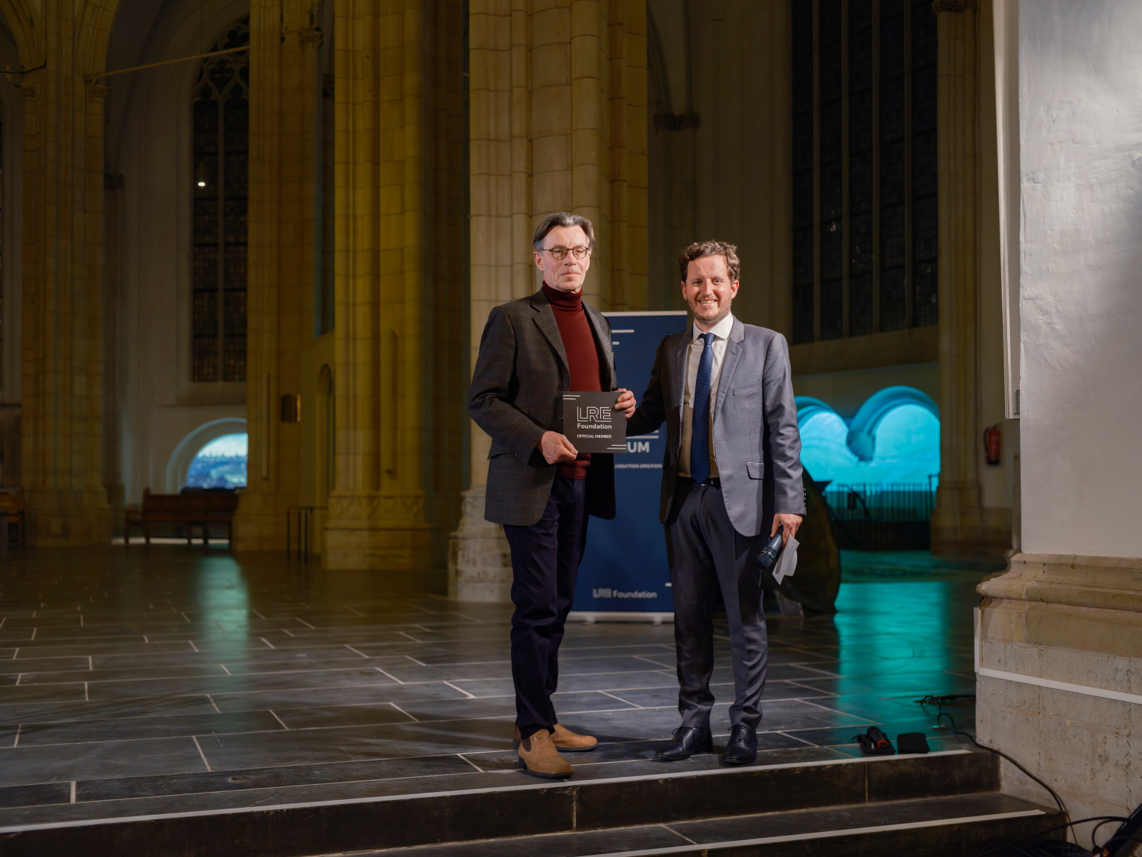
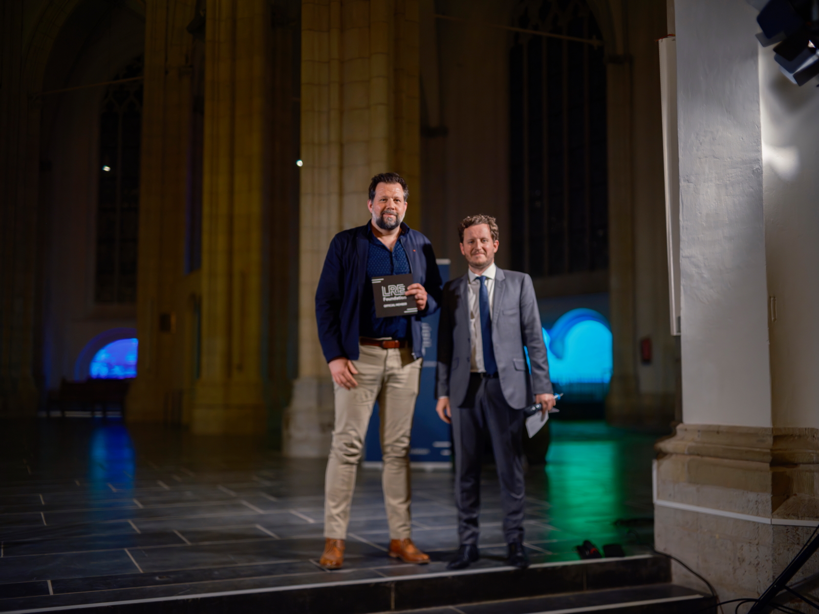
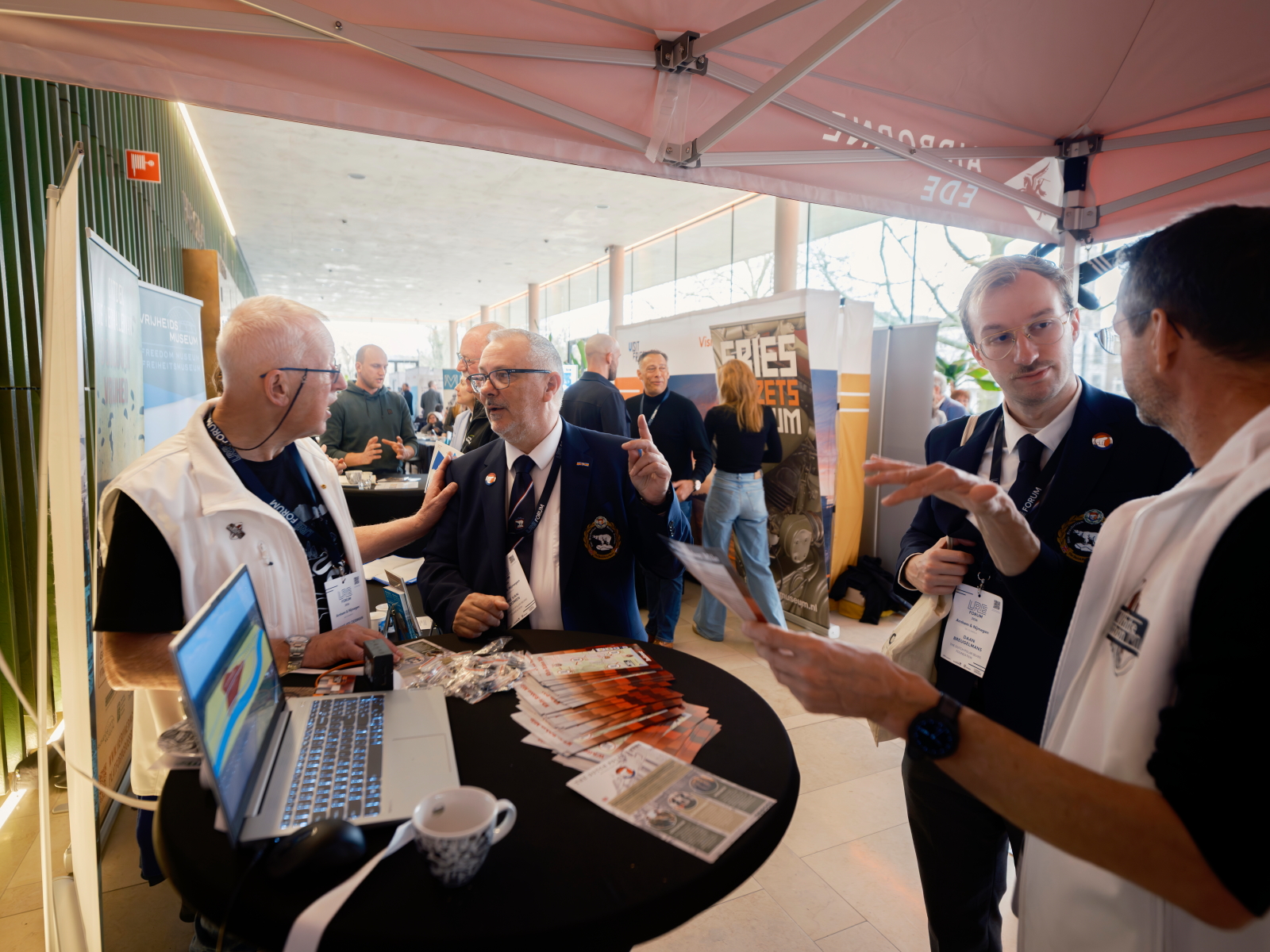
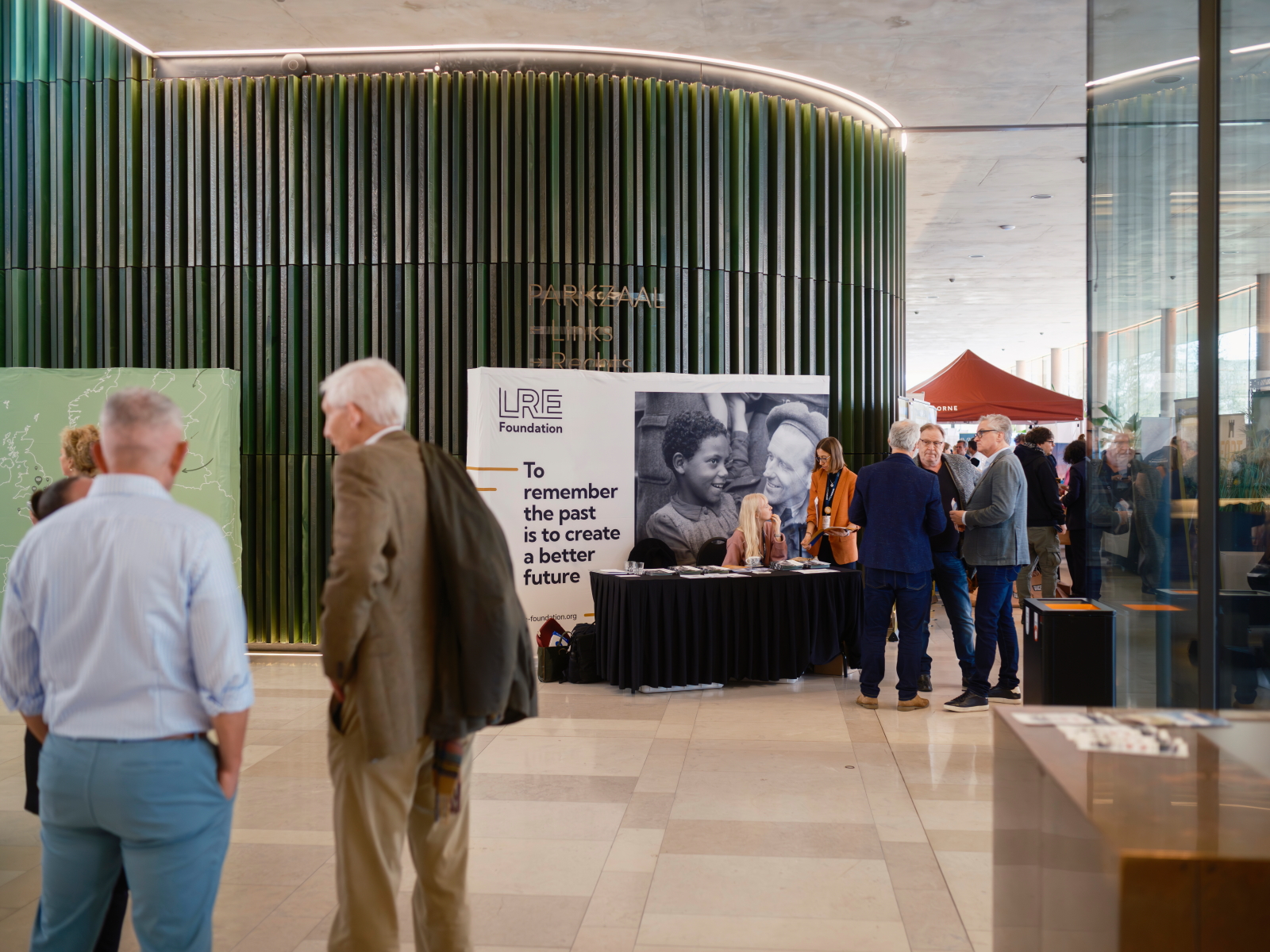
The group then continued to the former monastery on Kloosterlaan in Huissen – once used as a refugee centre – where the route was symbolically opened. The gathering concluded with coffee and traditional monastery cake, alongside speeches by local representatives, former chairman Martien van Hemmen, and Aude Maillard from the LRE Foundation, who was present at the launch together with members of the current board.
Adding a tangible connection to the past, the “Niemandsland” museum – also featured as a stop along the route – was present with two historic jeeps.
War in the Over-Betuwe offers visitors not only a scenic cycling experience but also a powerful journey through memory. By combining storytelling, landscape, and physical movement, the route encourages reflection on how war reshaped both the land and the lives of those who inhabited it. Visitors can plan their trip along the route via the Liberation Route Europe website, where all related stories and points of interest are also available to explore in advance or along the way.
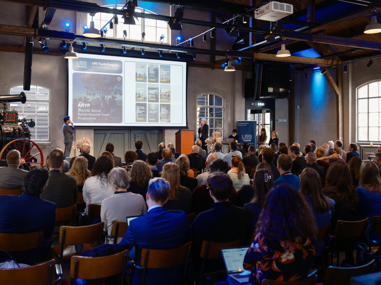
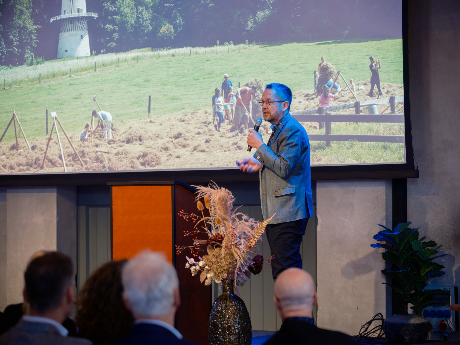
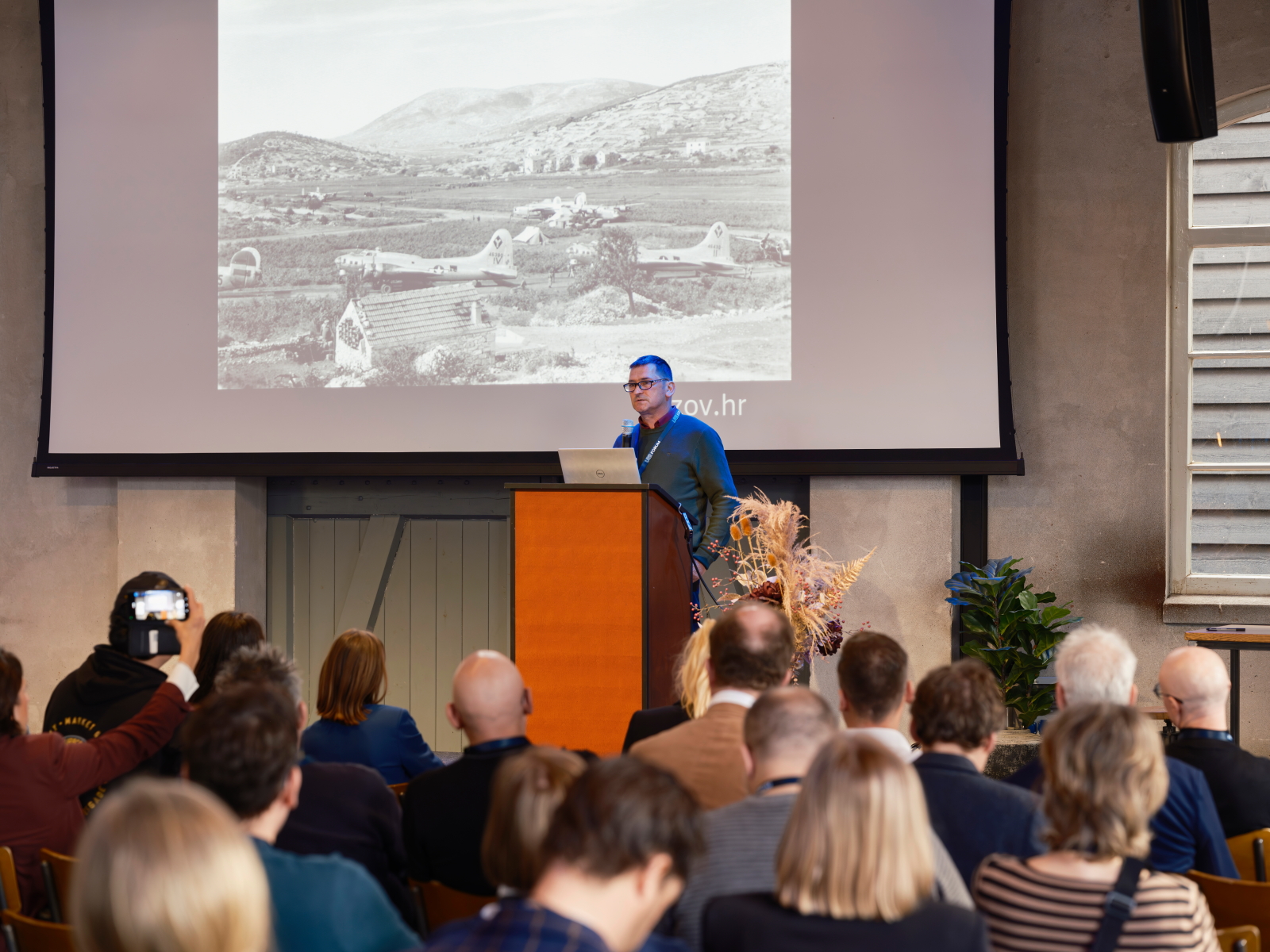
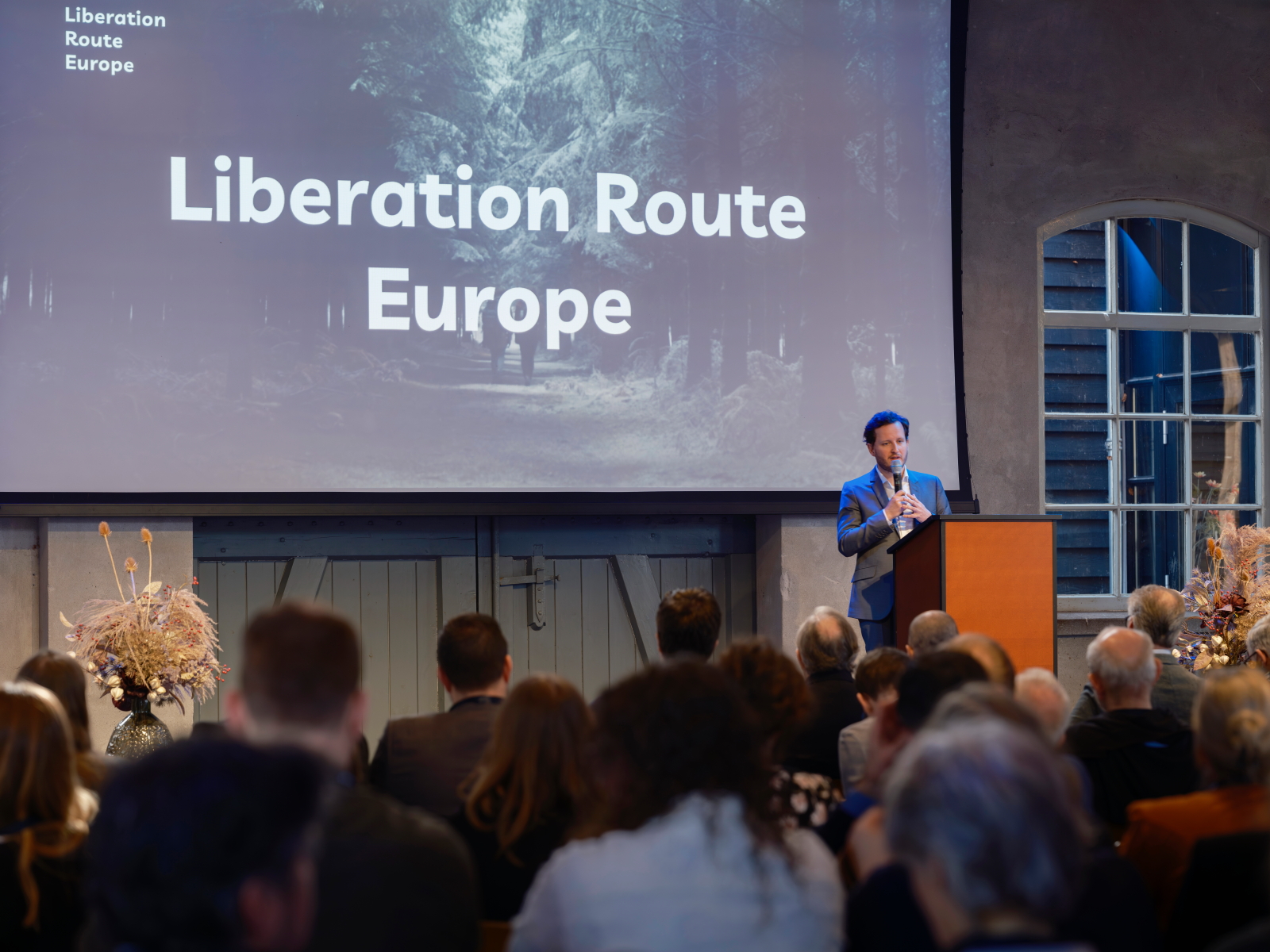
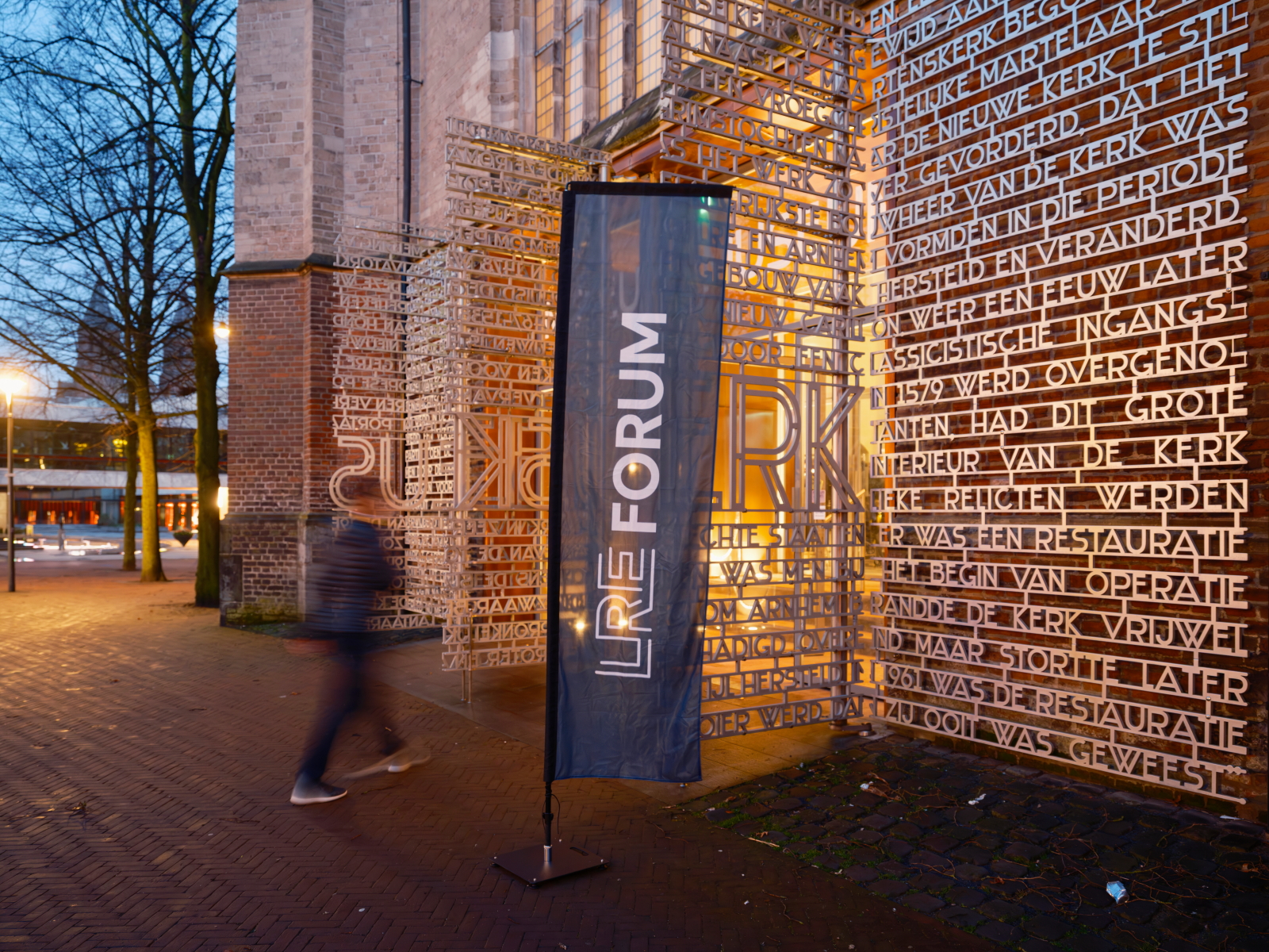
As part of the broader Liberation Route Europe network, this new addition continues the LRE Foundation’s mission to connect people with the history of the Second World War through meaningful, on-site experiences across Europe.


